Growing the future,
one farm at a time.
Managed farmlands that make sustainable living simple, accessible, and real — for every family that believes they deserve a piece of the earth.
Technologists, strategists, entrepreneurs.
Each with a passion for farming, a proven past, and a long-game vision for what Indian land ownership can become.
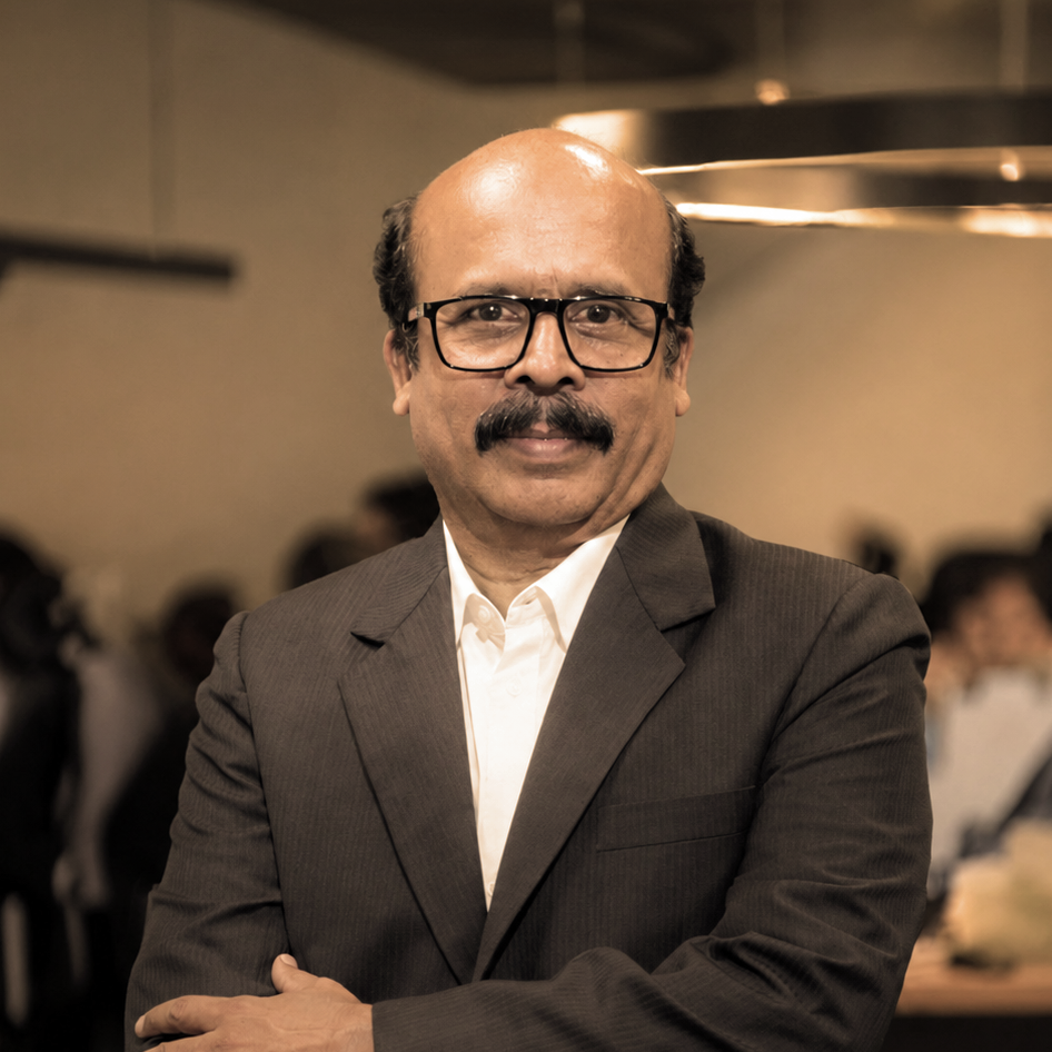
Ashok Jayanthi
ChairmanDriving operations and strategic planning with a strong engineering, agronomy and management foundation. The foundational mind behind Hosachiguru's land acquisition philosophy.
Connect on LinkedIn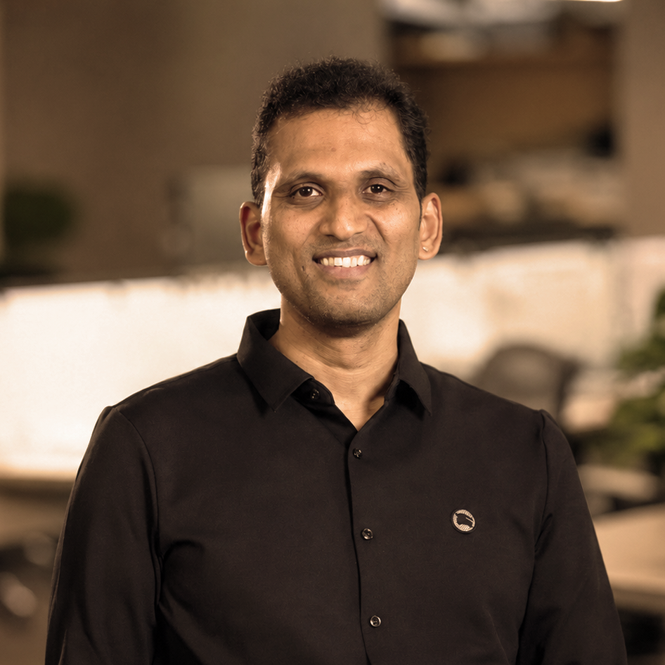
Sriram Chitlur
Managing DirectorArchitect of land expertise and strategic expansion. Also CEO of TalkingLands. Brings deep knowledge of land markets, valuation, and the legal landscape of farmland ownership in India.
Connect on LinkedIn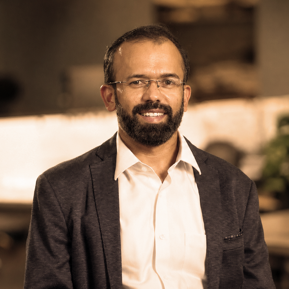
Srinath Setty
CEOVisionary leader driving strategy, finance, and growth at Hosachiguru. The person who translates the HC philosophy into real, scalable operations — and keeps the long-term mission on track.
Connect on LinkedInTen things we do for your land, every day.
Ownership & management of sustainable farms
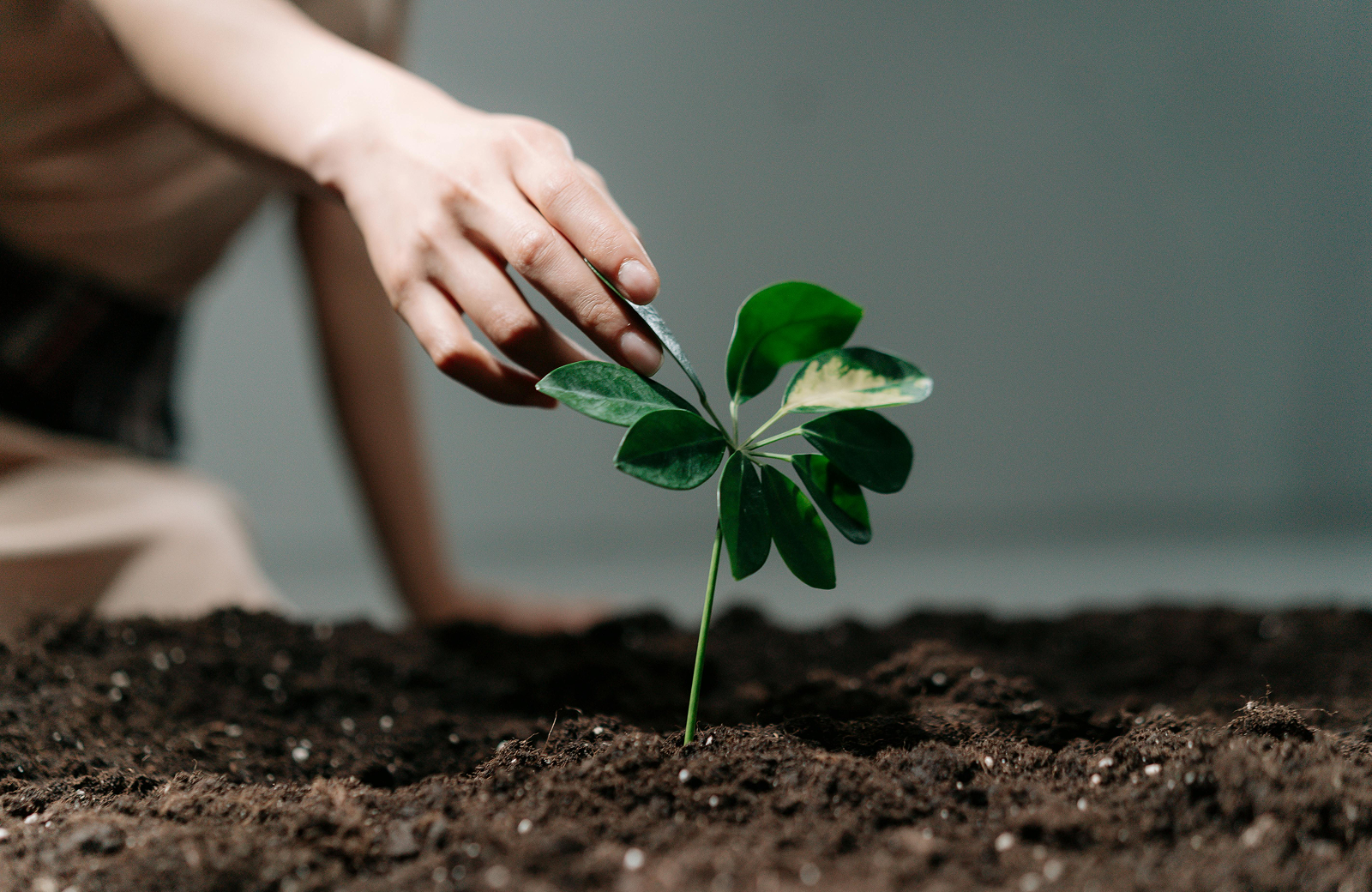
Regenerative and chemical-free farming practices
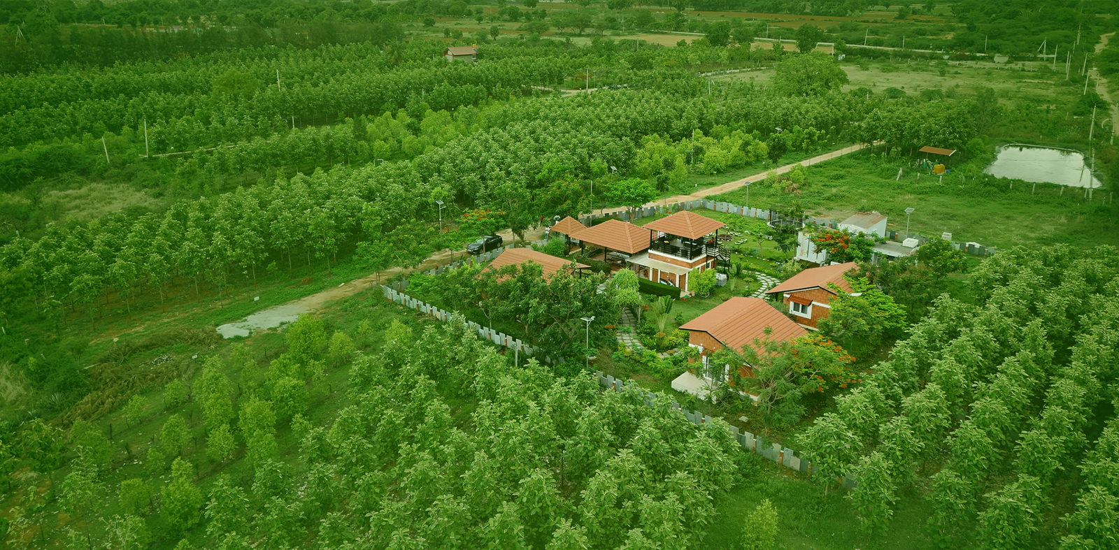
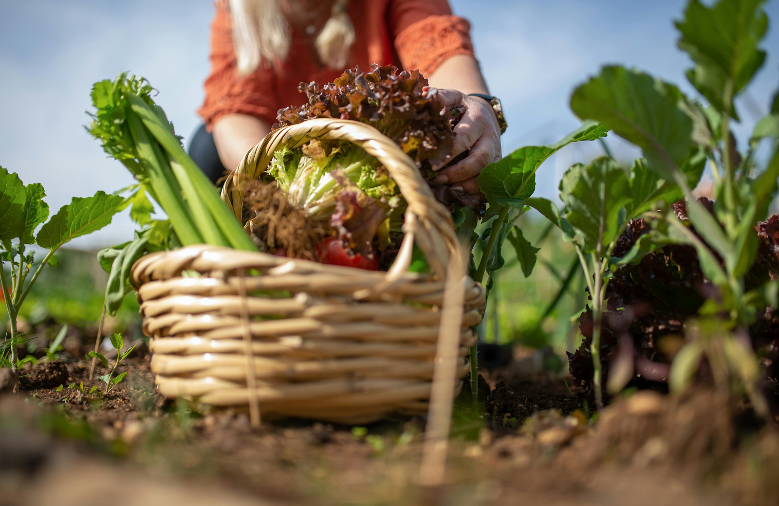
Creation of vibrant food forests
Water-wise and soil-restorative systems
Eco-architecture for mindful farm living
Biodiversity enhancement and native replantation
Smart, data-backed farm operations
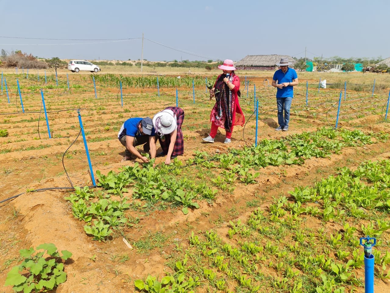
Community building through co-farming models
Carbon-positive and climate-resilient landscapes
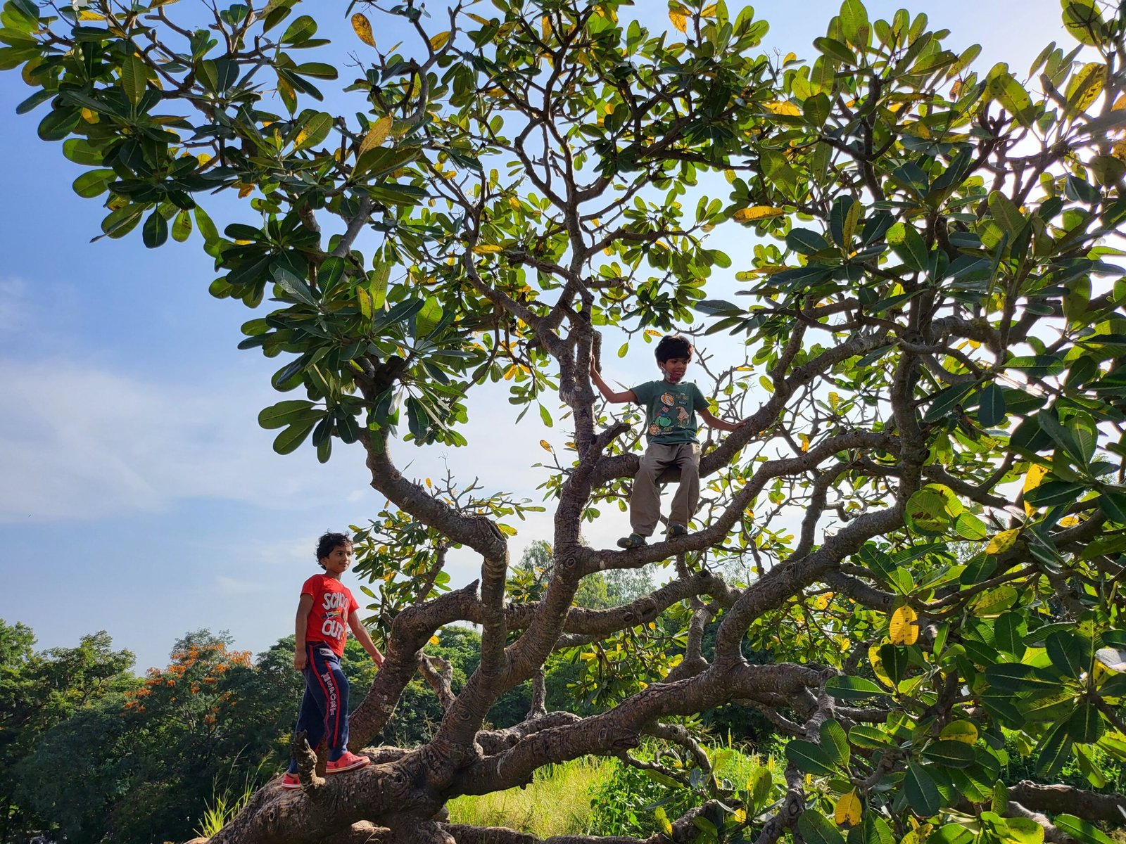
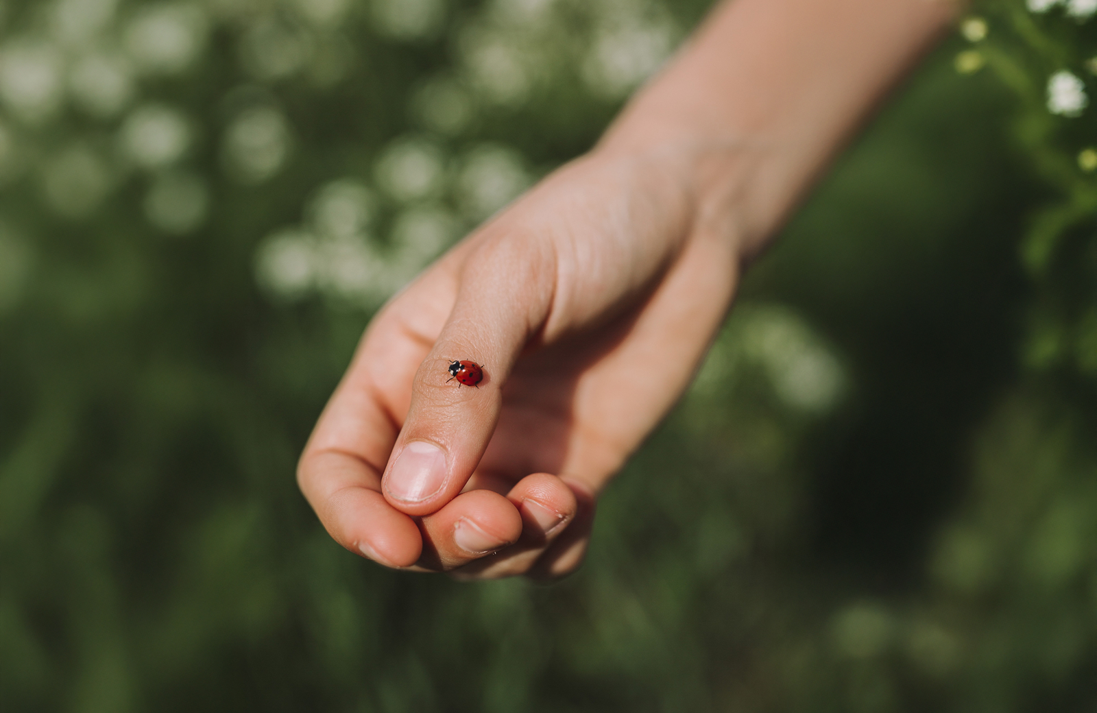
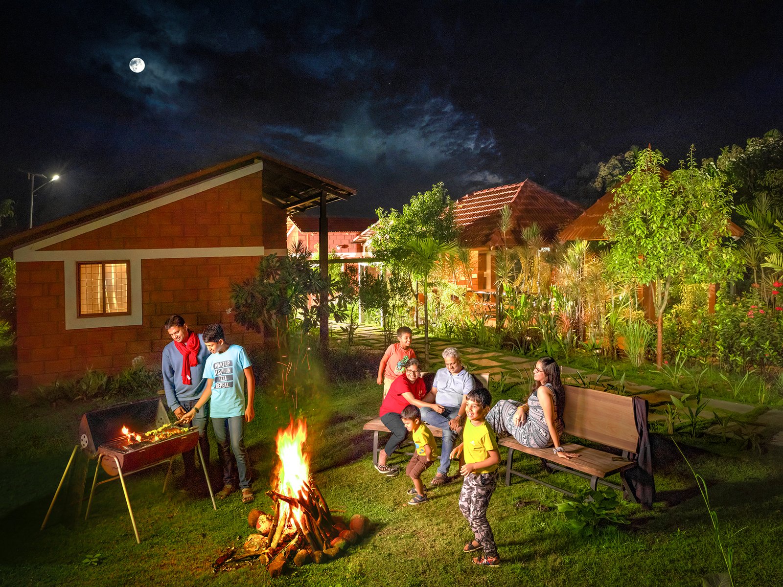
Farm experiences rooted in nature
Our growth story.
From a single idea about what farmland ownership could mean, to India's most trusted managed farmland company — here's how we got here.
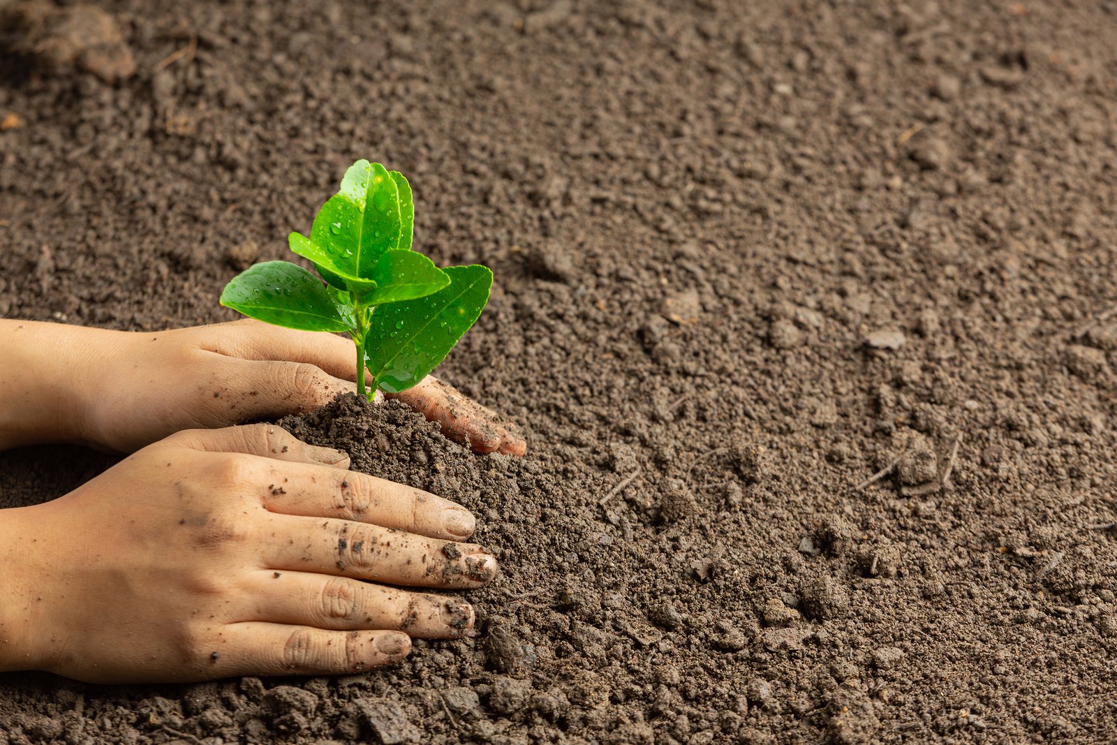
Hosachiguru was born from a simple belief — that city families deserve to own land, and that farming should be accessible to everyone.
Our first managed farmland community launched near Bangalore, proving the concept and welcoming our very first co-farmers.
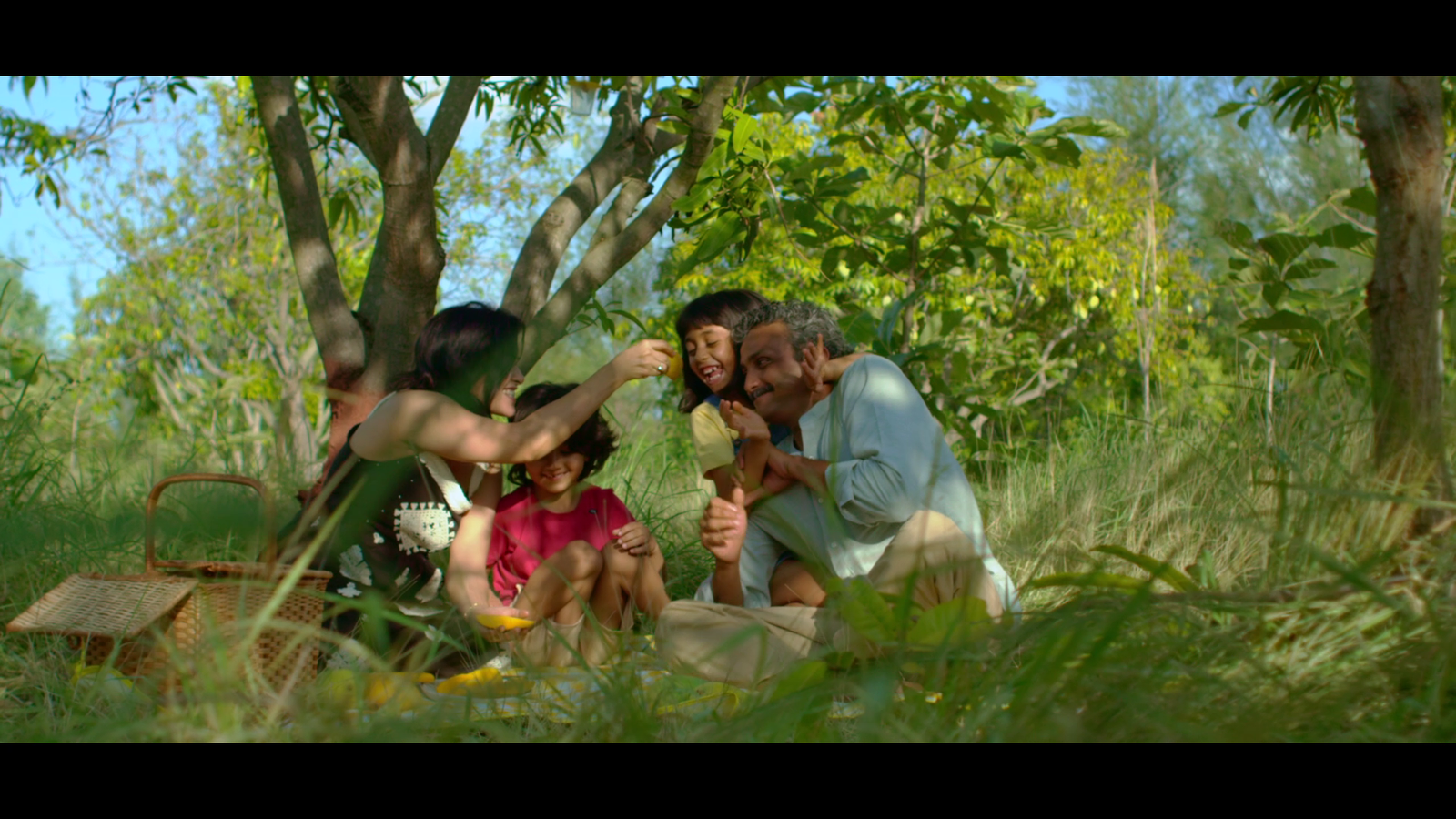
A growing community of urban families discovering the joy of owning land — and the peace of mind that comes with professional management.
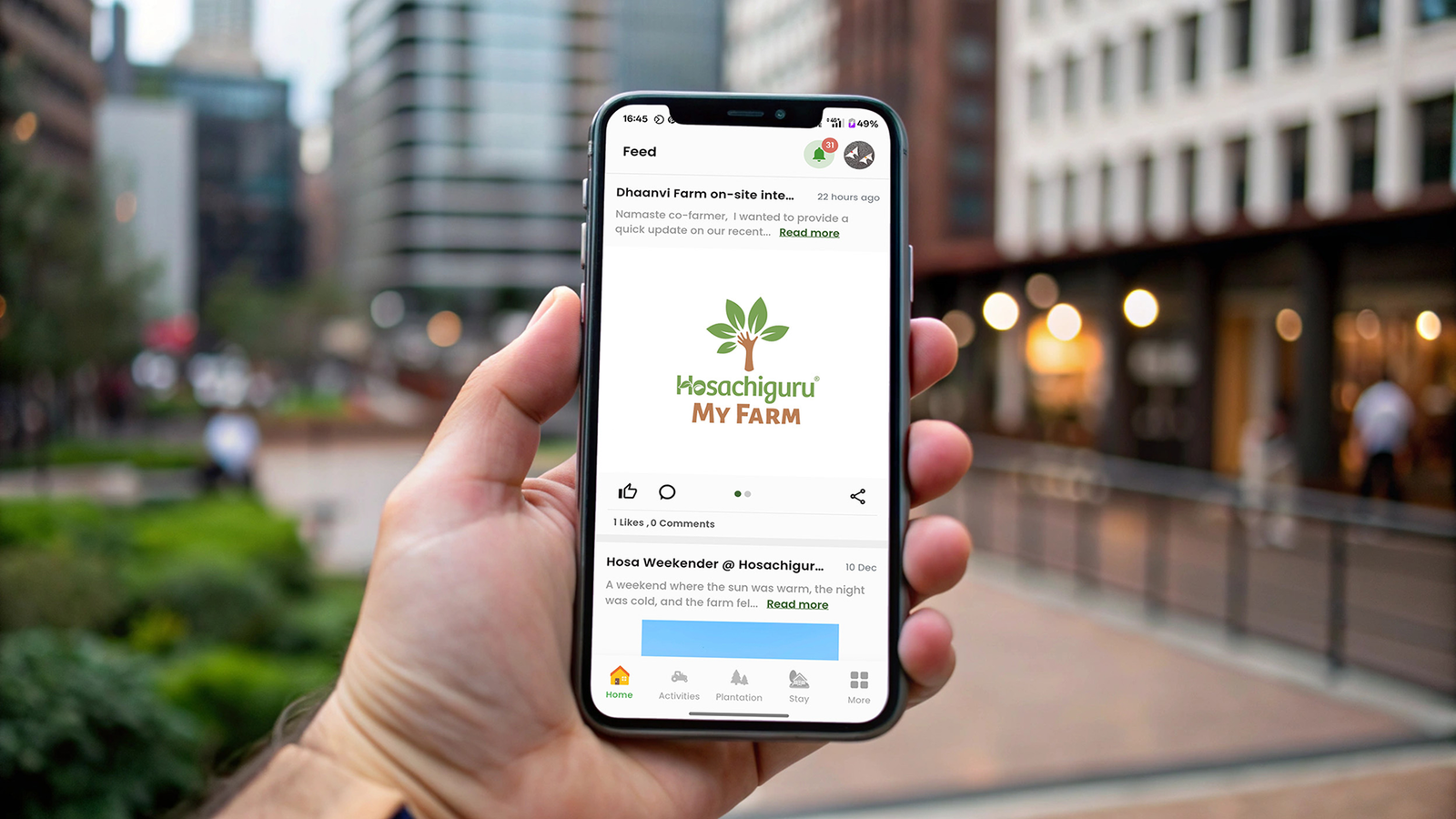
We launched the MyFarm App — giving co-farmers real-time visibility into their land, harvest updates, water usage, and farm activity.
Half a thousand families now owned a piece of the earth through Hosachiguru — a milestone that confirmed managed farmland as a mainstream aspiration.
We crossed a thousand families — spread across North, South and East Bangalore corridors, with 20+ delivered projects and counting.
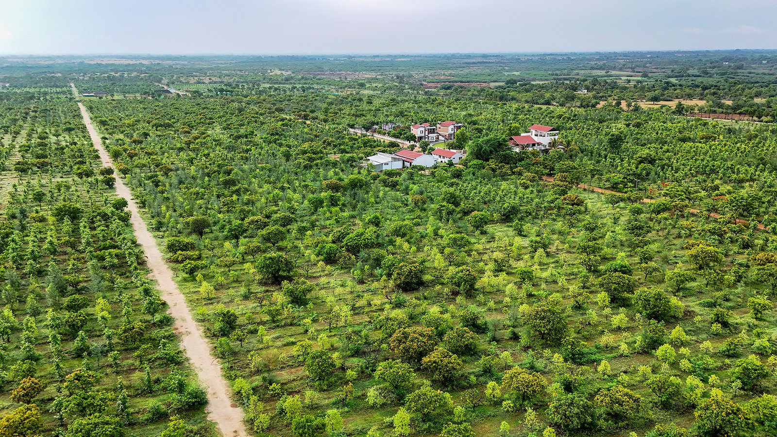
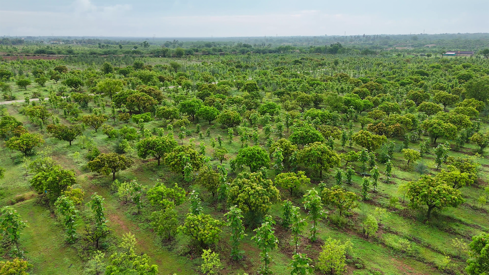
A landmark moment for the planet — over one million trees planted and managed across Hosachiguru farms, actively sequestering carbon and restoring biodiversity.
Today, over 1,600 families call themselves co-farmers. The movement keeps growing — and the land keeps giving.
How are we different?
Ten things about the way we work that you won't find anywhere else in managed farmland.

Buy land directly from us. No middlemen, no mystery involved.
Our commitment begins with the sale and grows for fifteen years.

We manage your farmland like our own — responsibly, transparently, daily.
Every process is open, honest, and rooted in accountability.

We provide full legal support and indemnity against future claims.

We make only the promises we can keep, and we always deliver.
Regenerative practices ensure every acre heals the soil it stands on.
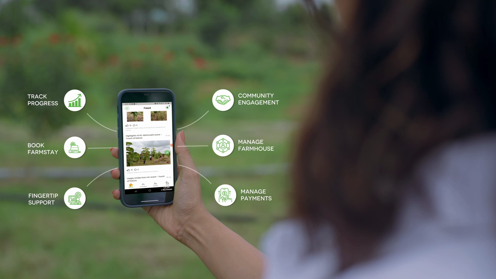
Technology keeps you connected via real-time MyFarm App updates.
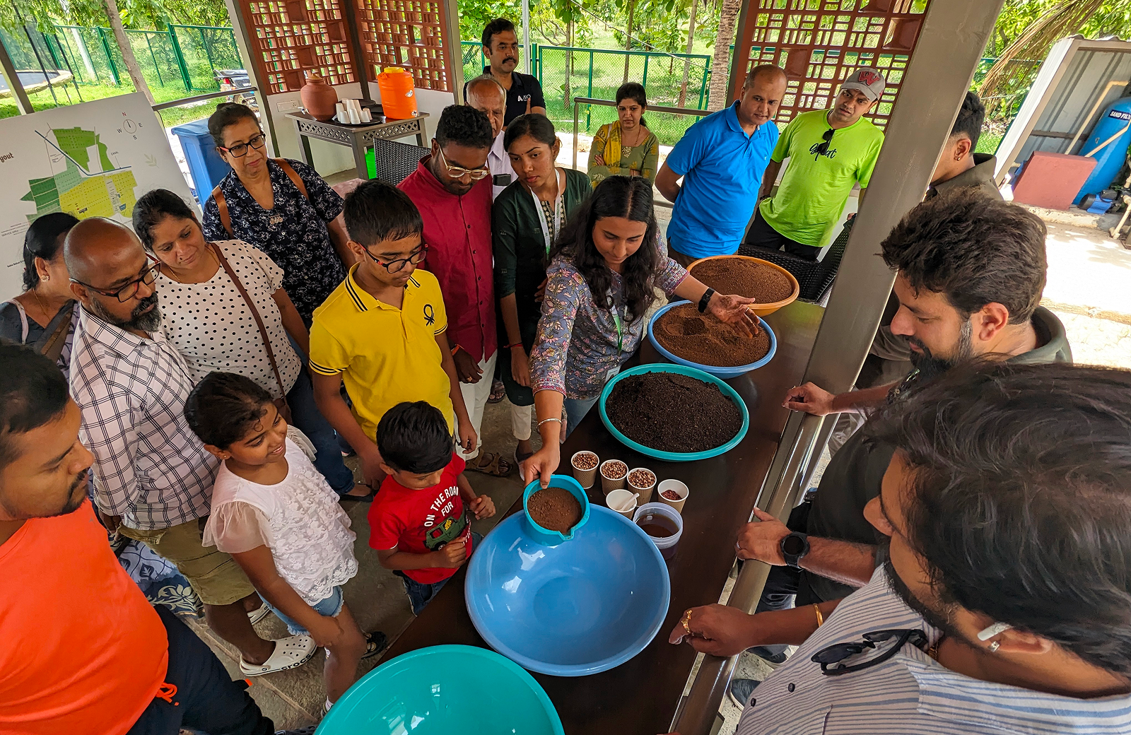
Workshops like Touch with Nature nurture curiosity and earth connection.
More than a company — we are a movement restoring how farming feels.
Three pillars of the HC way.
Our agroforestry system combines the best of nature and productivity. By following syntropic principles, we create regenerative forests that provide a sustainable mix of fruit trees and timber — offering both nourishment and long-term value for every co-farmer.
We design ecosystems that work with nature. Through permaculture, we create self-sustaining systems where every element supports the other — ensuring resource efficiency, conservation, and biodiversity. Nature thriving on its own, built for lasting impact.
Combining modern technology with time-tested sustainable practices, our approach minimises external inputs by following nature's blueprint. We design systems that mimic natural processes — creating an ecosystem that sustains itself, season after season.
The numbers behind the mission.
Who becomes a co-farmer?
Our co-farmers aren't investors chasing returns. They're a new kind of Indian family — one that believes in land, in legacy, and in living differently.
Ready to become a co-farmer?
Visit a farm this weekend. See the land. Ask every question. No pressure.
Come see what we're building. The land speaks for itself.
Our office is in Jayanagar, Bangalore. Our farms are 60–90 minutes away. Both doors are always open.
T Mariappa Rd, 1st Block, Jayanagar,
Bengaluru, Karnataka 560011